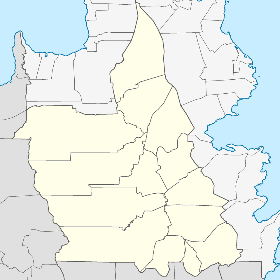

Look up how big Bislig is and you may get two answers. PhilAtlas, citing official data, says 331.80 square kilometers, which is 33,180 hectares. The City Government of Bislig's own profile lists a land area of 40,503 hectares. The difference, about 7,300 hectares, is not a rounding error. It comes from a boundary that has never been settled.
What the city charter actually says
Bislig became a city through Republic Act No. 8804, enacted on August 16, 2000. Section 2 of that law traces the city's borders point by point, following the established boundaries with Lingig, Tagbina and Hinatuan, the provincial line with Agusan del Sur, and the shoreline of Bislig Bay.
It then gives the total: "an approximate total land area of thirty-three thousand one hundred eighty (33,180) hectares more or less excluding the disputed portion between the province of Agusan del Sur and Bislig, Surigao del Sur."
The law also hedged its own number. It says the 33,180-hectare figure "is subject to future change depending on the result of the ongoing cadastral survey, Cad 928-D, Bislig Cadastre."
In other words, from the day Bislig became a city, part of the land its residents consider Bislig was left out of the official count because Agusan del Sur also claims it.
Who is on the other side
According to Bislig's Sangguniang Panlungsod, the dispute involves three Agusan del Sur towns along Bislig's western side: Trento, Bunawan and Rosario. Resolution No. 2026-561, adopted on July 7, 2026, calls it "a long-standing boundary dispute" that affects political jurisdiction, land administration, real property tax collection, delivery of basic services and peace and order in border barangays.
The 2026 push to settle it
The council took up the issue repeatedly this year:
- Resolution No. 2026-561 (July 7): asks Surigao del Sur Governor Johnny T. Pimentel, through the provincial board, for an update on settling the dispute.
- Resolution No. 2026-724 (August 25): asks Rep. Alexander T. Pimentel of the 2nd District to pass a bill keeping the status quo on the boundary while the dispute is resolved. It says residents of Bislig occupy portions of barangays that the charter excludes, that neighboring towns have carried out development activities in areas Bislig claims, and that councilors raised concerns about a cadastral survey reportedly conducted without city representatives present. It also mentions a separate resolution asking Congress to amend the territorial provisions of RA 8804.
- Resolution Nos. 2026-725 and 2026-726 (August 25): ask the City Planning and Development Office and DENR for all maps, technical descriptions and records on Bislig's territory.
- Resolution No. 2026-747 (September 1): asks the provincial board to help determine Bislig's boundaries, noting the gap between RA 8804's 33,180 hectares and the city profile's 40,503 hectares. It says the mismatch causes problems with jurisdiction, revenue collection and the city's share of national tax allotments. (The resolution's operative clause, as posted, contains text about an unrelated solar plant, which appears to be a clerical error.)
- Resolution No. 2026-777 (September 22): asks Mayor Florencio C. Garay to form a task force on the city's territorial and political boundaries.
Why it matters
A city's land area is more than trivia. Under the Local Government Code, land area is one of the factors used to compute each local government's share of national taxes, and the boundary decides which local government collects real property tax and provides services to the families living there.
As of October 24, 2026, Bislig Today found no published settlement or new law changing the boundary. Until one exists, the official legal figure remains the 33,180 hectares written into the city charter.
Sources: Republic Act No. 8804, Section 2 (August 16, 2000), via the Lawphil Project; City Government of Bislig, Bislig Profile; PhilAtlas, Bislig; City of Bislig, Sangguniang Panlungsod Resolution Nos. 2026-561, 2026-724, 2026-725, 2026-726, 2026-747 and 2026-777, published at bislig.gov.ph.