
Most Bisliganon know the city by feel, not by figures. Here is what the numbers actually say.
Size and location
Bislig City covers 331.80 square kilometers (33,180 hectares, the figure in its city charter, though the city government's own profile lists 40,503 hectares because part of its border with Agusan del Sur is disputed) and sits at coordinates 8°12'48" N, 126°18'58" E on Mindanao's eastern coast. It is roughly 208 kilometers northeast of Davao City, 152 kilometers south of Tandag City (the provincial capital), 44 kilometers south of Hinatuan, and 158 kilometers southeast of Butuan.
Population
As of the 2024 census, Bislig City had 99,872 residents across 24 barangays and 24,348 households, a population density of about 301 people per square kilometer. That figure has moved around over the decades: 103,510 in 1990, dipping to 97,860 in 2000, then climbing back to 99,290 in 2020 and 99,872 in 2024.
Terrain and climate
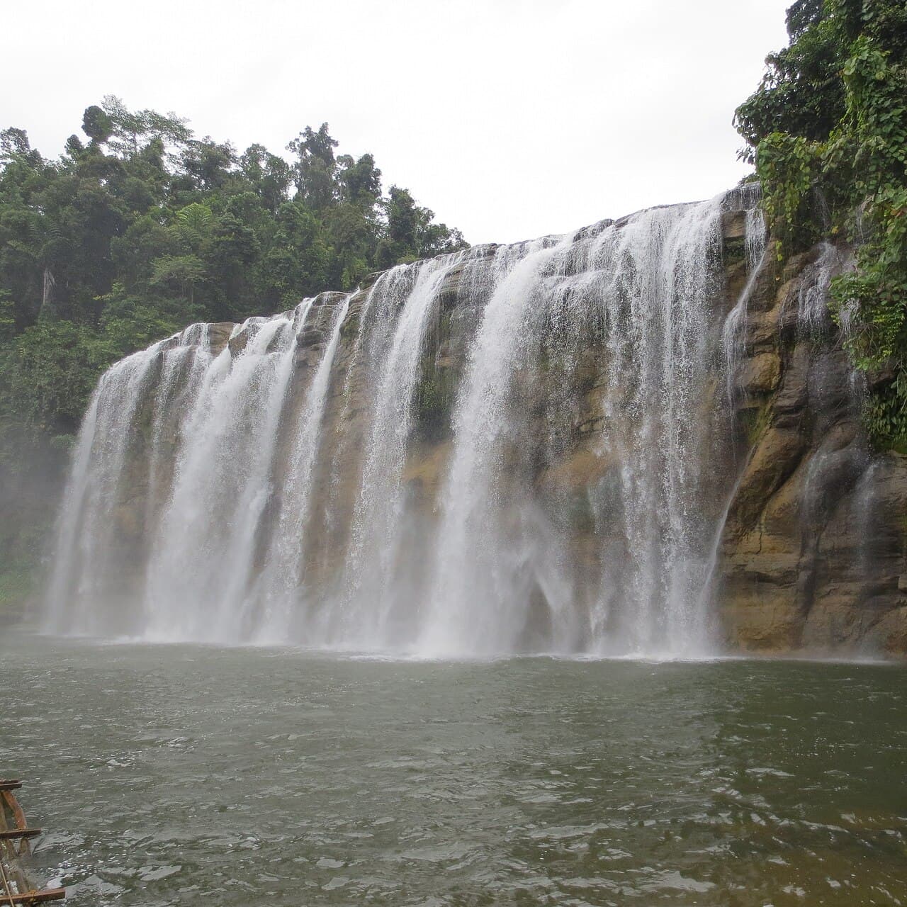
The city's average elevation is 71 meters, with its highest point reaching 394 meters. Bislig sits in a tropical rainforest climate zone, with annual rainfall averaging around 4,198 millimeters, well above what most of the Philippines sees in a typical year. That heavy, consistent rainfall is part of why the city's rivers and waterfalls, Tinuy-an Falls included, run as strong as they do.
The economy in numbers
Bislig carries a 2nd class city income classification. In 2024, the city recorded about ₱1.14 billion in revenue, ₱2.86 billion in assets, and ₱350.1 million in expenditure. Poverty incidence stood at 28.13% as of 2021, a figure that reflects the economic transition the city has been navigating since its PICOP-era industrial base wound down by 2008.
These numbers will not surprise longtime residents, but they are worth having in one place, especially for anyone comparing Bislig to other Mindanao cities or trying to understand how the city has grown, and shrunk, and grown again over the decades.