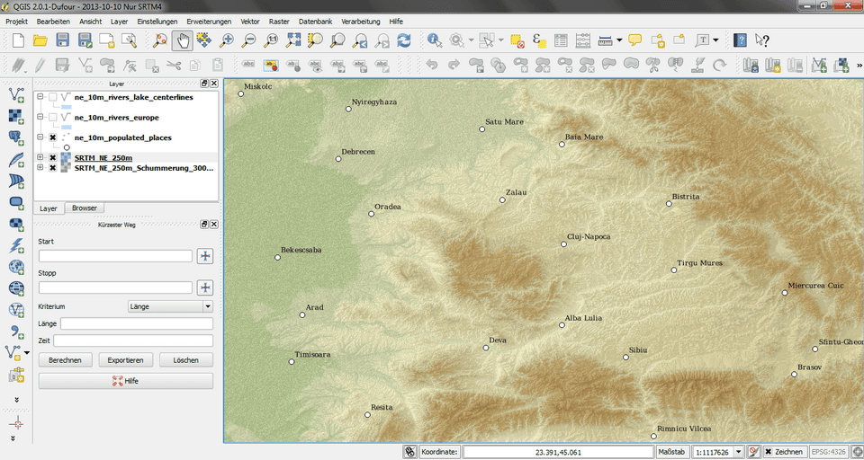

A research project from North Eastern Mindanao State University (NEMSU) that uses artificial intelligence and digital maps to study land use is coming to Bislig for testing. On October 13, 2026, the Sangguniang Panlungsod authorized Mayor Florencio C. Garay to sign a Memorandum of Agreement (MOA) with the university so the city can serve as a pilot site.
The project's full name is "Landsafe: Development of a Web-Based Land-Use Analysis Integrating AI and Data-Driven GIS for Safe Rural Development."
What the council approved
The authority is in Resolution No. 2026-802, adopted during the 65th regular session of the Tenth Sangguniang Panlungsod. It was sponsored by Councilors Victor B. Alvar Jr., Romeo F. Cacayan, Bernadeth May R. Almanon-Balondo and Reynaldo V. Dominguez, and by Vice Mayor Conrad C. Cejoco. NEMSU is represented in the agreement by its university president, Dr. Nemesio G. Loayon.
According to the resolution, the MOA covers four things: implementation of the project in Bislig, "pilot utilization" of the system, "system validation," and "responsible data sharing" between the city and the university.
What Landsafe is supposed to do
The resolution says Landsafe aims to "harness cutting-edge artificial intelligence and geographic information systems (GIS) to analyze land use patterns, enhance rural planning, and mitigate environmental and structural hazards to ensure safe and sustainable community development."
GIS is the technology behind digital maps that stack different kinds of information on top of each other, such as roads, rivers, slopes, flood zones and property lines. Adding AI is meant to help spot patterns in that data faster than a person reviewing maps by hand.
The city's reason for joining is spelled out in the resolution. It says the City Government "recognizes the immense value of this project in bolstering local disaster risk reduction, land-use management, and data-driven administrative planning," and that this makes Bislig "an ideal pilot site for system validation and implementation."
Why a pilot city matters for a research project
A university can build a system in the lab, but it needs real data and real users to find out whether it works. As a pilot site, Bislig gives the NEMSU team a place to test Landsafe against actual local conditions. In return, city offices get early access to a planning tool.
That is why the agreement includes data sharing. To be useful, the system needs local information, and the resolution stresses that the sharing must be "responsible." The resolution itself does not list which datasets the city will provide or which city offices will use the system.
A city with real land-use questions
Bislig has plenty of planning questions such a tool could address. Recent council resolutions, covered by Bislig Today, have dealt with an unsettled boundary with three Agusan del Sur towns, requests to DENR for watershed and protected-area maps, small-scale coal mining applications in Pamaypayan and San Jose, and a proposed school extension site on ancestral land in Tabon. The city also sits on a coast exposed to tsunamis, as the December 2023 earthquake showed.
The resolution does not say Landsafe will be used for any of these specific cases. It describes the project's purpose in general terms only.
What is not yet public
The resolution does not give a start date, a project duration, a budget, or the names of the NEMSU researchers leading Landsafe. Bislig Today found no published description of the project from NEMSU as of October 29, 2026. We will report more once the university or the city releases details on how the pilot will run.
Sources: City of Bislig, Sangguniang Panlungsod Resolution No. 2026-802 (October 13, 2026), published at bislig.gov.ph.